See the
subsurface
clearly
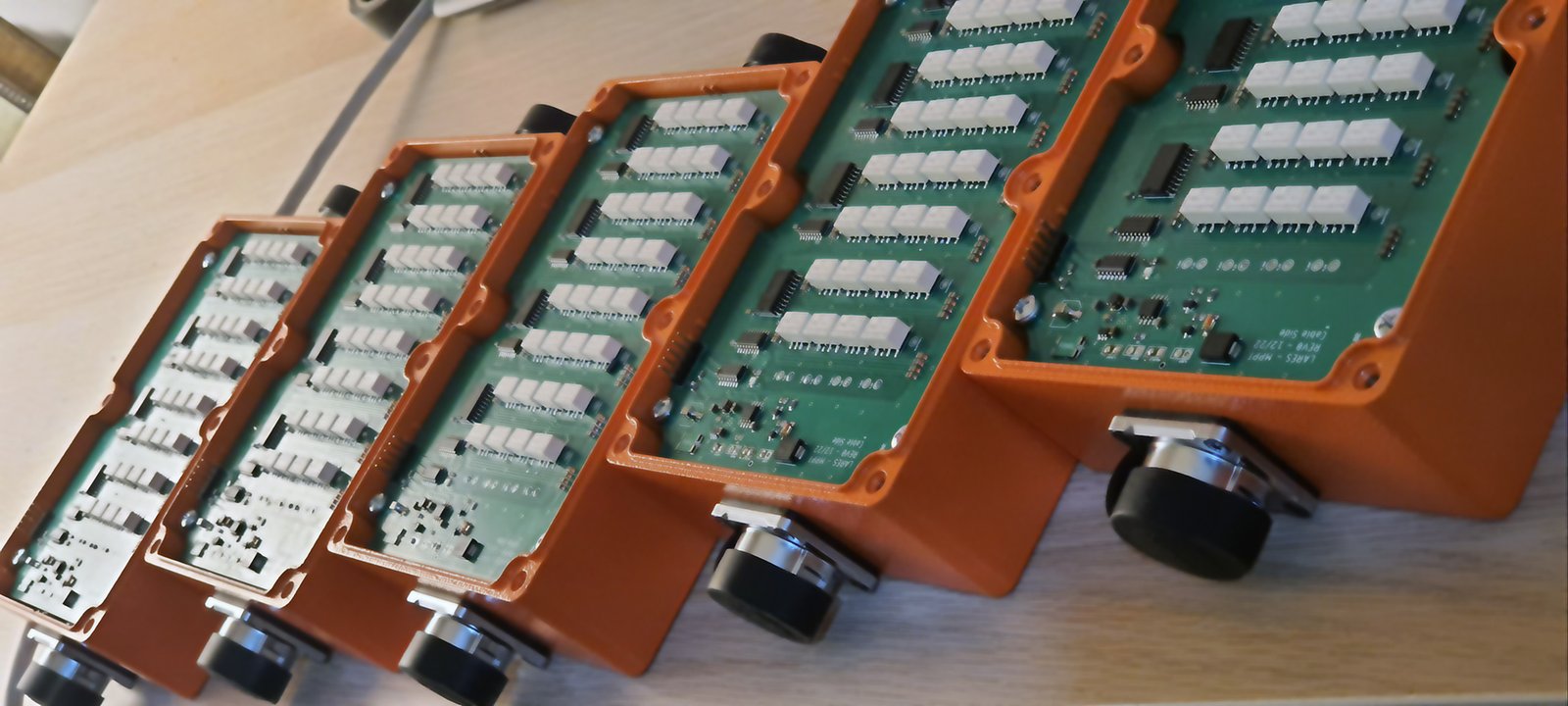
CERES® — 800 W Power, 24-Bit Precision, Wireless Freedom for VES and ERT Surveys.

A technology company developing geophysical measurement systems
LARES Engineering & Earth Sciences has developed geophysical measurement systems since 2019, within the academic infrastructure of the Ankara University Technology Development Zone. We design the electronics, embedded software and user interface of our instruments in one team, and provide geophysical survey services with the same field experience.
Product, R&D and geophysical services
CERES®Resistivity Measurement System
A new-generation measurement system for VES and ERT measurements.
CERES® page
R&DHardware and software development
From embedded system design to web interfaces and data-processing software.
R&D and services
SERVICEGeophysical surveys
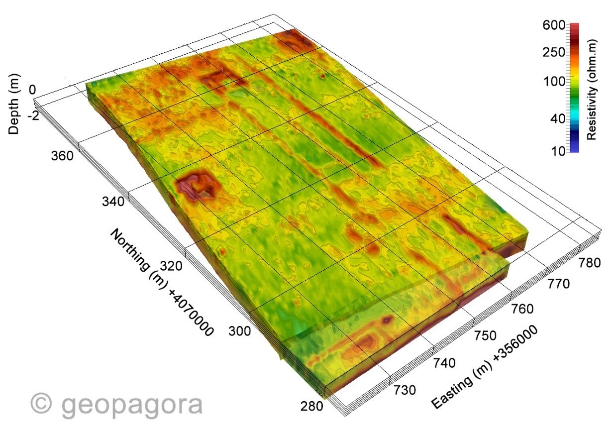
ERT, VES and GPR measurements and reporting, above all for archaeological sites.
Our services
From archaeology to instrumentation
Archaeological geophysics
Non-destructive imaging of buried structures and voids.
Electrical resistivity (ERT / VES)
2D/3D tomography and vertical electrical sounding, inversion and interpretation.
Ground-penetrating radar (GPR)
High-resolution subsurface imaging, utility and concrete inspection.
Instrumentation and software
Custom measurement hardware, embedded systems and data-processing software.
R&D consulting
TÜBİTAK proposal writing, university–industry collaboration, feasibility.

CERES®Resistivity Measurement System
CERES® is designed to be simple, rugged and lightweight for fieldwork. Managed from a tablet or phone, it brings VES, ERT and IP measurements onto one platform.
- 800 W output, 24-bit A/D, smart cables for up to 256 electrodes in effective use
- An interface used in the browser, nothing to install
- A live demo you can try in your browser
Latest updates
Brochure, datasheet, manual
Let's talk about your project
Write to us about a geophysical survey, R&D collaboration or a CERES® demo.